


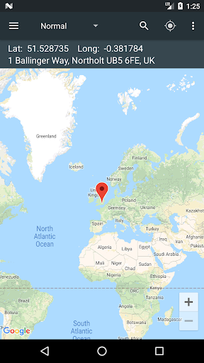
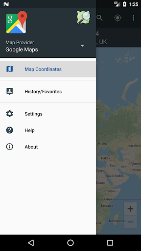
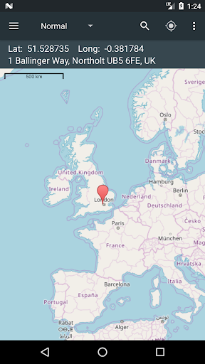
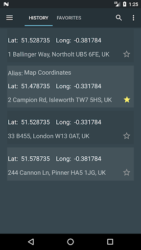
Discover, measure, and share coordinates. Switch types and navigate your way.
| App Name | Map Coordinates |
| Latest Version | 5.7.3 |
| Size | 15 MB |
| Category | Maps & Navigation |
| Developer | Soft Stack Dev |
| Mod Info | Premium Unlocked |
| Requires | Android 8.0 & up |
More Info at
★★★ Changes ★★★
MGRS coordinates type unlocked;
UMT coordinates type unlocked;
Remove Ads unlocked;
Measurement Tools unlocked;
Disabled / Removed unwanted Permissions + Receivers + Providers + Services;
Optimized and zipaligned graphics and cleaned resources for fast load;
Ads Permissions / Services / Providers removed from AndroidManifest;
Ads links removed and invokes methods nullified;
Ads layouts visibility disabled;
Google Maps Location works;
Google Play Store install package check disabled;
Debug code removed;
Remove default .source tags name of the corresponding java files;
Analytics / Crashlytics / Firebase disabled;
No active trackers or advertisements;
Languages: Full Multi Languages;
CPUs: armeabi-v7a, arm64-v8a, x86, x86_x64;
Screen DPIs: 120dpi, 160dpi, 240dpi, 320dpi, 480dpi, 640dpi;
Original package signature changed;
Release by Balatan
Download File-Main LinkAlternate Link
== Screenshots ==


![[Exclusive] MDGram Messenger v21 (TG v10.12.0)(Premium)(Mod)(Ghost Mode)(AntiDelete)](https://play-lh.googleusercontent.com/uI9xKvwoGgzJaYSCY0fiasL3fiMsEvzwp18pkdcvhp2_3izIM0g8oPJLc54LLq-QVC8=w74-h74-p-k-no-nu)
